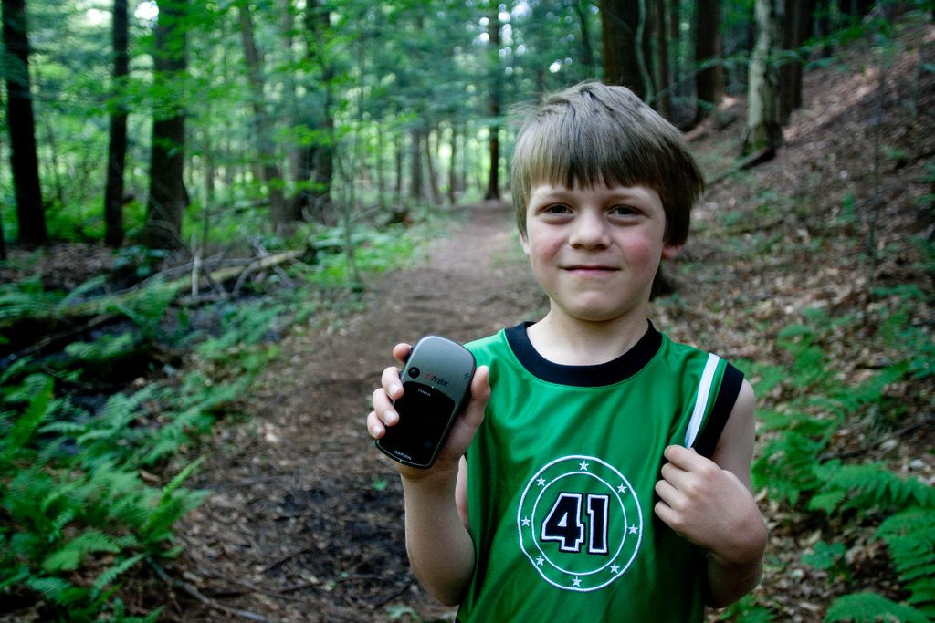
A Step by Step Guide to Using a Handheld GPS


If you are into hiking technology but you still have no idea how to use a handheld GPS, then this is for you. A hiking GPS is not quite the same as Google Maps on your phone or the navigation system you use in your car. It’s a little more complex than that.. Most GPSes or hiking watches have many features you can utilize to help you not only pinpoint where you are and where you’re going, but also record your trips. If you’re eager to start using your GPS in the backcountry but need a little more help with it, then take a look at this.
Know Before You Go
The first thing to know before you use a handheld GPS is that it’s meant to accompany a map, not to be used as a replacement. Because it needs to attach to at least four satellites before giving a read out, you should not be so reliant on a GPS as your main mode of navigation. If you have a weak signal or you go in and out of service, you could risk receiving inaccurate information, which could ultimately mean you’ll end up very lost.

Coordinates are Confusing!
Reading coordinates isn’t too hard, but it’s helpful to know a little about them. Do you remember learning about longitude and latitude in middle school? Whatever tricks your social studies teacher taught you to remember this topic, could be very useful now. So, rack your brain.
Once you have a better grasp on coordinates, it’s time to understand how a GPS uses those coordinates. Basically, the GPS takes a set of coordinates and places it on a grid, to tell you your location based on its relative position north/south and east/west.
Seems relatively easy, right?
It is! Since you now know how your GPS uses coordinates, read about how it DISPLAYS these coordinates on your screen.
- DMS (Degrees, minutes, seconds). This is typically the standard way of writing longitude and latitude, and tells you very simply, the degrees, minutes, and seconds away from the equator and prime meridian the point is.
- DDM (Degree, decimal, minutes). This is essentially the same thing as DMS, except the “seconds” part is changed to a decimal and added to the minutes.
- UTM (Universal Transverse Mercator) This does not use longitude and latitude, but instead uses a grid in which each line represents points at 1,000 meters apart.
But What to Do With All That?
The great thing about choosing a good handheld GPS is that you can customize how you view your coordinates. Choose what’s best or what makes the most sense to you. You can also convert one set of coordinates to another type, if you want to change it up while you go. What’s nice is that you won’t actually be the one internalizing these coordinates; your GPS will be using them to easily guide you. So sit back, relax, and enjoy the hike!
But, before you can get on your way, you need to know about waypoints.
What are Waypoints?
Glad you asked! Waypoints are essentially markers you put to mark different locations. There are a few ways to do this.
Way #1: This is when you already know where you want to go. You can plan your route at home using waypoints. Choose your starting point and make markers along the way, all the way until the end of your hike. You can then upload this information to your GPS device, and the GPS will guide you from point to point as you go.
Way #2: Hit the backcountry with no planned route, and create your waypoints as you go. A good way of doing this is to mark it every couple of miles (which your GPS will tell you), or when you hit a landmark, like a waterfall or trailhead. Waypoints will allow you to edit each marker with a name or small description, coordinates, and on some GPSes, with a photo.
Your GPS can also tell you the distance and timing between different waypoints. This is helpful if you need to get to your campsite by nightfall. Additionally, you can add new waypoints as you hike, or keep tabs on where you parked your car.

Other Functions of the Handheld GPS
In addition to using waypoints, a handheld GPS has other functions. It can:
- Give you your location
- Comes with a compass
- Determine distance
- Track your steps if you take a detour or you’re hiking freestyle
- Tell time
- Take photos
- Save voice recordings
- Read elevation and altitude
- “Predict” the weather
Additional features all depend on what GPS you have.
Preventing Issues with Your Handheld GPS
A GPS is not always reliable. Therefore, it’s important to follow these safety precautions:
- Put it on satellite lock so that you don’t lose information when you go into the trees
- Always carry a hardcopy of a map
- Make sure your battery is charged, but have a backup or a way to charge.
- Read up on your route before you go, as to not be so dependent on your GPS.
- Get a GPS with Smart Notification, to double its usage as a phone.
Now you can finally feel confident when you put your handheld GPS to the test!


